California Utilizes Artificial Intelligence to Identify Wildfires Before Expansion
AI and climate change pose threats to life on Earth, but AI can also assist in mitigating the impacts of climate change. The California Department of Forestry and Fire Protection (Cal Fire) has introduced a new initiative, in collaboration with the University of California San Diego, called the Alert California AI program. This program utilizes AI technology to detect wildfires by analyzing data from 1,032 rotating cameras. By identifying irregularities in the camera feeds, the system alerts emergency services and relevant authorities to assess the need for a response to potential fires.
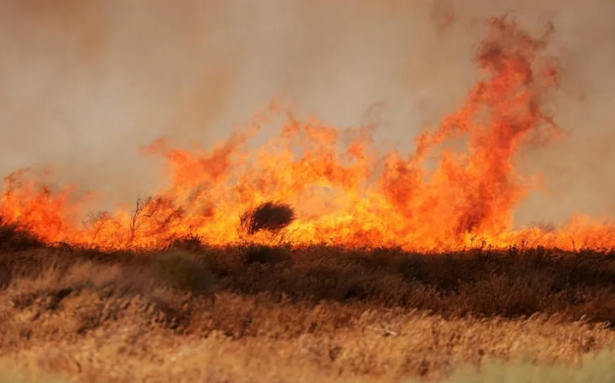
According to Reuters, the program launched in July has already extinguished at least one possible forest fire. The camera reportedly captured the fire starting at 3 a.m. in the remote Cleveland National Forest east of San Diego. The AI detected the inferno and alerted the fire captain, “who called in about 60 firefighters, including seven engines, two bulldozers, two water tankers and two hand crews.” Cal Fire says the flames were out in 45 minutes.
Alert California, a technology website, says it uses LiDAR scans from airplanes and drones to create “equally accurate, three-dimensional data from scanned surfaces.” It combines this with the physical characteristics of tree species to learn more about the biomass and carbon content of California’s forests. Cal Fire says the ML model uses petabytes of data from cameras to distinguish between smoke and other airborne particles.
The system was developed by UCSD engineers using artificial intelligence from the California company DigitalPath. Cal Fire has invested more than $20 million in the program over the past four years and is pledging an additional $3,516,000 in the near future.
“We’re in an extreme climate now. So we’re giving them the data because this problem is bigger than all of us,” UCSD geology and geophysics professor Neal Driscoll, who serves as the program’s principal investigator, told Reuters. “We need to use technology to help move the needle, even if it’s a little bit.” However, Driscoll adds that the current sample size is too small to determine the overall effectiveness of the program.
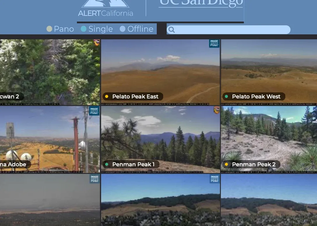
You can check Alert California’s “camera coverage” on your computer or mobile device. The site displays a grid of remotely controlled real-time camera views from around the area.